

New Delhi: The National Compensatory Afforestation Fund Management and Planning Authority, operating under the Union Ministry of Environment, Forest and Climate Change, convened a national workshop today in the capital to address the critical settlement and digitisation of forest boundaries.
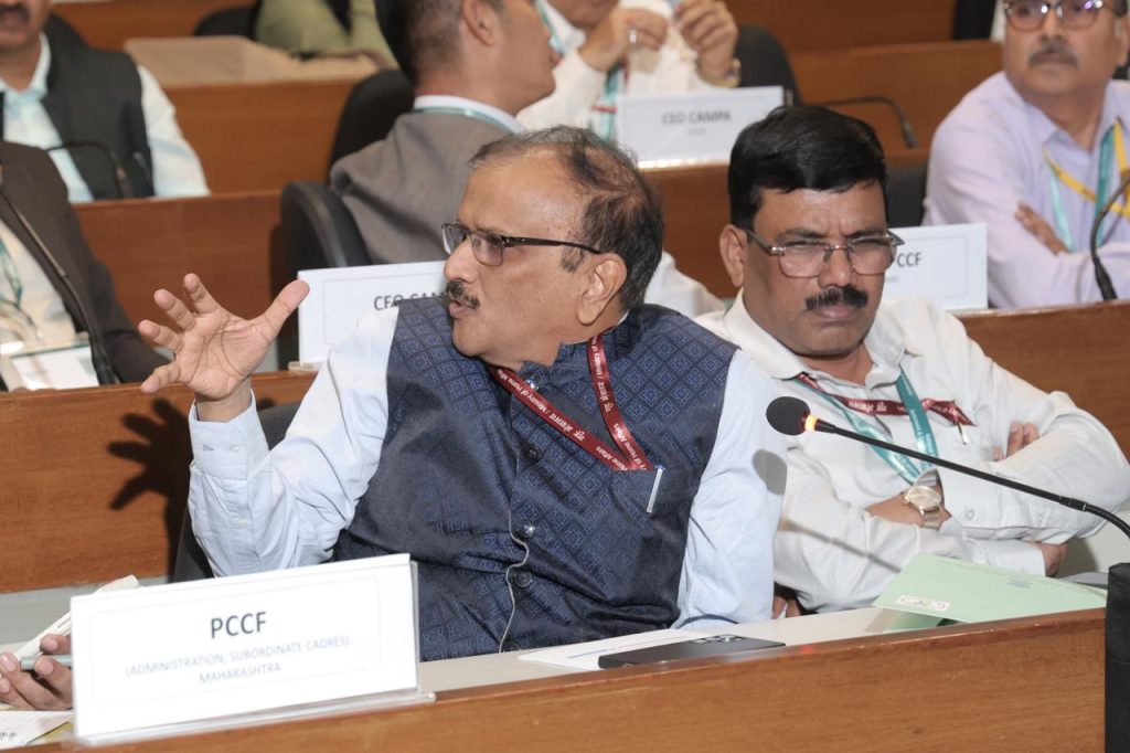
A significant highlight of the event was the technical session on the best practices of states, which was chaired by Dr. K. Murugesan, the Principal Chief Conservator of Forests and Head of Forest Force of Odisha.
During the session, Dr. Murugesan led discussions on successful models and strategies implemented across various regions to secure forest land records.
The workshop emphasized a new mandate requiring each State and Union Territory to develop a time-bound Action Plan. This initiative will be integrated into the Annual Plan of Operations for the 2026-27 financial year.
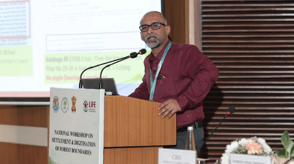
CEO, CAMPA Odisha, Shri G Rajesh presented an exemplary model approach detailing the Standard Operating Procedures (SOPs), documentation and notification protocols, and benefits of digitised forest boundaries.
Odisha was commended as an early and comprehensive implementer. Multiple States and UTs presented case studies and time-bound action plans.
Funding for these efforts will be provided via Net Present Value funds under the Compensatory Afforestation Fund Rules of 2018, with a projected implementation window of three years.
The gathering featured prominent forestry officials, including Shri Sushil Kumar Awasthi, Director General of Forests and Special Secretary, who attended as the Guest of Honour.
The proceedings were co-chaired by Shri Siddhanta Das, Chairman of the Central Empowered Committee. The Chief Executive Officer of the National Authority CAMPA provided the keynote presentation, outlining the urgent need for digital transparency in forest administration.
Contributions were also made by the Additional Director General of Wildlife and the Inspector General of Forests, all focusing on the long-term goal of eliminating boundary disputes and enhancing conservation through precise geospatial mapping.