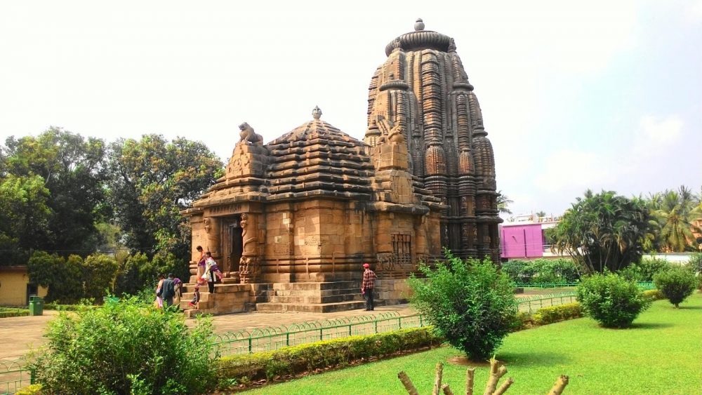
Bhubaneswar: The Archaeological Survey of India (ASI) will conduct a photogrammetric survey of Lingaraj Temple and Raja-Rani Temple soon.
The ASI in collaboration with the National Institute of Science Education and Research (NISER), Bhubaneswar is going to conduct the survey using drones.
The Directorate General of Civil Aviation (DGCA) under Ministry of Civil Aviation (MoCA) has granted conditional exemption from Unmanned Aircraft System (UAS) Rules, 2021 to the NISER, Bhubaneswar, for this purpose.
The exemption allows the photogrammetric survey of the two centrally protected monuments in collaboration with the Archaeological Survey of India (ASI) using drones.
This exemption is valid for a period of one year from the date of approval or until further orders, whichever is earlier and shall be subject to the terms and conditions of the SOP issued by the DGCA.
The ASI has taken steps to prepare photogrammetric survey maps of almost all centrally protected monuments and sites in a phased manner.
The survey is being conducted in West Bengal, Madhya Pradesh, Uttar Pradesh, Chhattisgarh and many more States, sources said.
As per plan, an aerial survey covering the protected, prohibited and regulated areas around the Lingaraj Temple and Raja-Rani Temple will be conducted.
Mapping/ recording of all structures under the protected and regulated area will be done. The protected area of the temples will be mapped in such a manner that all structures and features present within the area can be easily identified.
Mapping of other features like tanks, embankments, mud fortifications, remains of ancient structures, important landmarks, buildings, etc. will also be done during the survey.
Earlier this month, drone use permission was also granted to the Directorate of Urban Local Bodies (DULB), Haryana for data acquisition, mapping, and implementation of web-based GIS platform for the development of AMRUT cities and property tax survey for Hisar, Panchkula, Ambala urban areas.


