

New Delhi: Odisha has established itself as the national leader in forest governance, serving as the primary case study during a landmark workshop organised by the National Authority CAMPA in New Delhi.
The workshop was graced by Shri Sushil Kumar Awasthi, Director General of Forests & Special Secretary, MoEF&CC, as the Guest of Honour. The event was co-chaired by Shri Siddhanta Das, Chairman, Central Empowered Committee (CEC).
The Welcome Address and keynote presentation on the need and objectives of the workshop were delivered by the Chief Executive Officer, National Authority CAMPA.
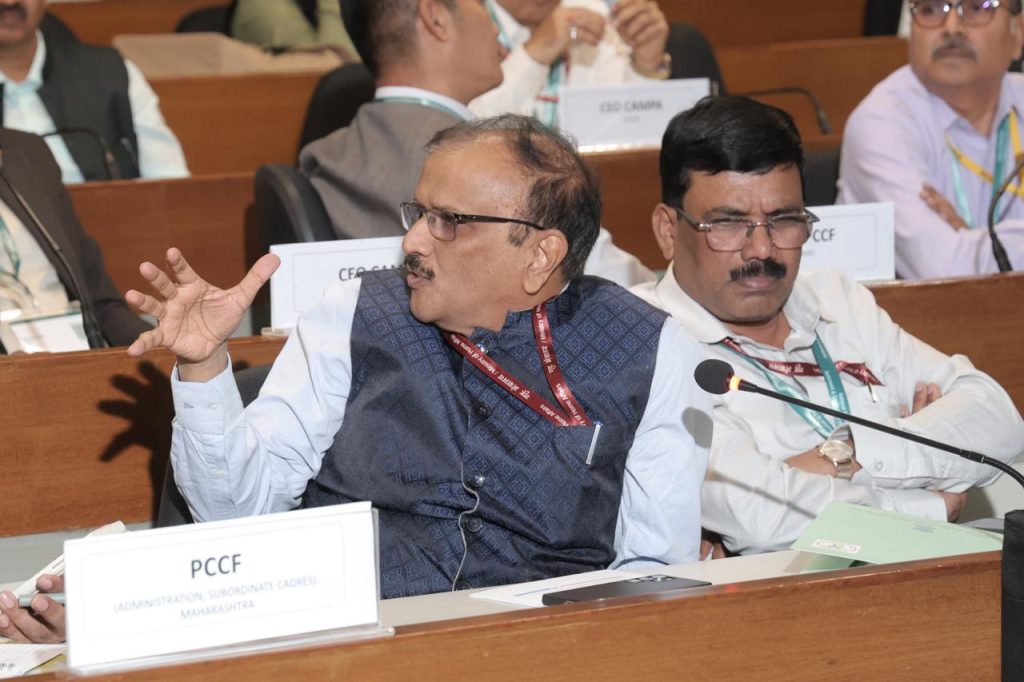
PCCF & HOFF, Odisha, Dr.K Murugesan graced the occasion and Additional Director General (Wildlife), MoEF&CC, IGF, MoEF&CC and the Chairman, CEC, also addressed the gathering.
While the Union Ministry of Environment, Forest and Climate Change convened the session to address a nationwide delay in complying with 2011 Supreme Court mandates, the Odisha CAMPA model was presented as the definitive roadmap for success.
By successfully transitioning from obsolete traverse sketches to a high-precision GIS-based framework, Odisha has demonstrated how to resolve historical land misclassifications and secure the statutory rights of forest-dwelling communities.
The CEO of CAMPA Odisha Shri G Rajesh presented a comprehensive model approach that is now being adopted as a national standard. This model relies on a rigorous set of Standard Operating Procedures (SOPs) that integrate technological precision with administrative transparency.
The Odisha strategy effectively utilizes DGPS and CORS-based geo-referencing to create a definitive spatial record of forest land. This technical foundation allows for the seamless integration of cadastral and revenue data, which is critical for joint verification processes and the resolution of long-standing land disputes under the Forest Rights Act of 2006.
The workshop highlighted that Odisha’s proactive implementation has significantly improved the monitoring of forest diversions and compensatory afforestation sites. Unlike many other regions that have struggled to show progress over the last fourteen years, Odisha’s digitised boundaries provide a transparent and accountable database that prevents untraceable encroachments.
This success has prompted the National Authority CAMPA to mandate that all other States and Union Territories prepare time-bound Action Plans for the 2026-27 fiscal year, modeled after the institutional framework pioneered by Odisha.
As the apex body, the National Authority CAMPA will now oversee the establishment of a centralised National GIS Repository, drawing heavily from the technical benchmarks set by Odisha. These efforts will be supported by institutions such as the Forest Survey of India and the Indian Institute of Remote Sensing to ensure quality assurance.
By following the Odisha model, the national initiative aims to ensure that all forest lands are accurately identified and managed, reinforcing intergenerational equity and fulfilling the legal directives that have remained unaddressed in many parts of India for over a decade.