

Bhubaneswar: Odisha has firmly established itself as a national leader in the crucial task of geo-referencing its forestlands, demonstrating a proactive and technologically advanced approach to forest management and conservation.
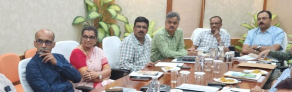
This was revealed in a meeting held at Lok Seva Bhawan on 19 May graced by Siddhanta Das, Chairman Central Empowered Committee (CEC), Supreme Court of India.
Additional Chief Secretary Home, Forest, Environment and Climate Change, Satyabrata Sahu, PCCF & HoFF, Suresh Pant, PCCF Wildlife, P K Jha, PCCF KL, Member Secretary OSPCB, Uma Nanduri, PCCF (Nodal) K Murugesan, CAMPA Chief G Rajesh and other officials were present.
In a significant move following the 2011 Supreme Court directive on forest demarcation, Odisha became the first state in India to record all its forest land, jointly done by Revenue and Forest officials setting a precedent for other states to follow, pointed out Shri Das, Chairman CEC.
Tahsildars and Divisional Forest Officer (DFO)s jointly visited the areas and demarcated the land, which is unique in India.
This pioneering effort underscores Odisha’s commitment to safeguarding its rich biodiversity and effectively managing its forest resources.
The state’s early adoption of geospatial technology and strategic collaborations have been instrumental in achieving this milestone and continue to drive its success in forest conservation.
Responding swiftly to the Supreme Court’s mandate, Odisha took immediate action to accurately demarcate and record its entire forest area. Department of Revenue & Disaster Management and Department of Forest, Environment and Climate Change joined hands to take up this unique initiative, said ACS Shri Sahu.
This proactive stance highlights the state’s dedication to adhering to legal directives and ensuring the security of its forest boundaries. By being the first to complete this comprehensive exercise, Odisha has laid a strong foundation for informed decision-making and effective forest governance.
A key element in Odisha’s successful geo-referencing endeavour has been its collaboration with the Spatial Planning and Regional Consultancy (SPARC). SPARC has played a vital role in providing technical expertise, assisting the Odisha Forest Department in establishing crucial survey controls and conducting high-precision Differential Global Positioning System (DGPS) surveys. This partnership has ensured the accuracy and reliability of the geo-referenced data.
Further solidifying its commitment to a systematic approach, Odisha developed a comprehensive Standard Operating Procedure (SOP) for geo-referencing forestlands. This SOP provides a clear framework and guidelines for the entire process, ensuring consistency and efficiency in mapping and recording forest boundaries across the state.
Odisha has been at the forefront of utilizing geospatial technology for forest management. The extensive use of DGPS surveys allows for the precise mapping of forest boundaries, providing accurate spatial data that is crucial for monitoring changes, preventing encroachments, and planning conservation efforts. This technological integration demonstrates the state’s forward-thinking approach to resource management.
The proactive measures undertaken by Odisha in geo-referencing and leveraging technology have yielded tangible results. The state has witnessed a significant increase in its forest and tree cover, ranking as the third highest in the country in terms of net gain between 2021 and 2023, according to the latest India State of Forest Report. This growth is a testament to the effectiveness of Odisha’s holistic approach to forest management, with accurate land records playing a vital role in conservation strategies.
To further enhance its forest management capabilities, Odisha has developed the Forest Land Information and Decision Support System (FLI-DSS). This sophisticated system serves as a central repository for all geo-referenced forest land information, enabling efficient analysis, monitoring, and informed decision-making by the Forest Department. The FLI-DSS empowers officials with the data needed for effective planning and implementation of conservation initiatives.
The Odisha Space Applications Centre (ORSAC) has also played a crucial role in the state’s geo-referencing efforts. ORSAC’s expertise in remote sensing and GIS technology has been invaluable in mapping and analyzing forest lands, further strengthening the state’s capacity for accurate and up-to-date forest information.
Odisha’s comprehensive and proactive approach to geo-referencing its forestlands serves as a commendable model for other states in India. Its early action, strategic collaborations, development of standardized procedures, and effective use of geospatial technology have not only ensured the security of its forest boundaries but have also contributed to a significant increase in forest cover.
As India continues to prioritize forest conservation and sustainable development, Odisha’s leadership in this critical area provides valuable lessons and sets a high benchmark for effective forest management nationwide, said CEC Chief Shri Das.